
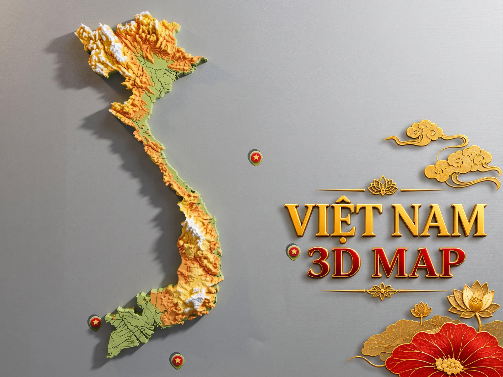
Viet Nam 3D Topographic Map
Peso
251g
Tiempo
17h 30m
Precio
Cotiza este producto por WhatsApp
Contáctanos y te damos el precio según color y acabado
Las dimensiones dependen del diseño. Confirmamos las medidas exactas por WhatsApp.
Descripción
This Vietnam 3D Topographic Map is a layered relief model that highlights the country’s terrain, mountain ranges, highlands, and regional elevation changes in a clean and visually engaging way. The design combines geographic information with decorative presentation, making it suitable both as an educational piece and as a unique display model. The map features a clear topographic style with layered elevation, natural color transitions, and marked island elements, creating a strong visual identity while still keeping the overall form elegant and easy to display. This model is a great choice for people who love geography, cartography, travel, national landmarks, or meaningful decor inspired by Vietnam. Features 3D topographic relief map of Vietnam Layered terrain representation with clear elevation changes Decorative and educational at the same time Suitable for wall display, shelf display, or collection A meaningful piece for people who love Vietnam and geographic models Possible Uses Home or office decor Classroom or educational display Gift for geography lovers or Vietnam enthusiasts Collection piece for map and terrain model lovers Notes Please check the model size before printing You can scale the model depending on your printer capacity and display needs Color separation can be adjusted depending on your filament choice and print setup If you want a heavier display piece, you may print with higher infill or adjust wall settings
Tags
Diseñador
Chung Ngo